Unlocking Jan van Stinemolen's Panorama of Naples
Miguel Fernández ·
Listen to this article~4 min
Discover how recent research revealed Jan van Stinemolen's 1582 Panorama of Naples is far more than a simple historical snapshot, uncovering its complex artistic construction and identified locations through collaborative, interdisciplinary study.
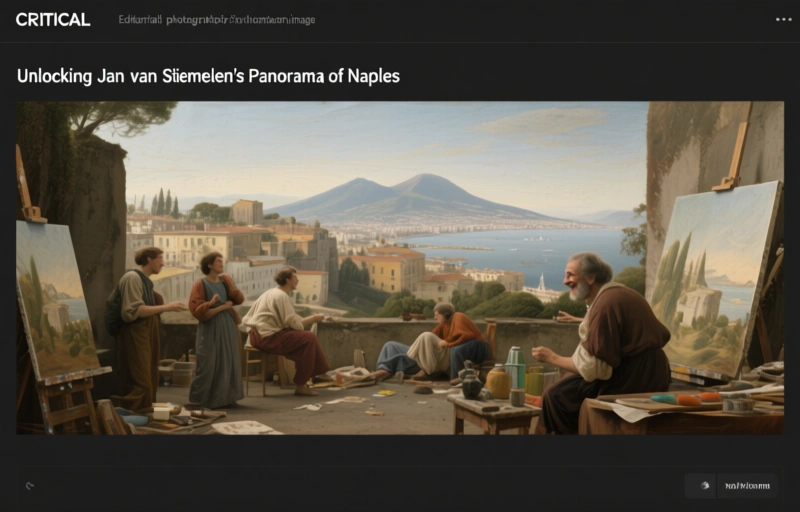
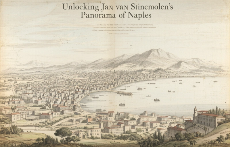
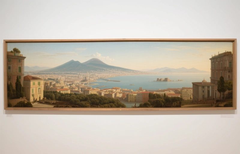
If you're like me, you've probably seen old maps and drawings and thought they were just simple historical records. But what if I told you that some of these works are incredibly complex artistic statements? That's exactly what a recent collaborative research project discovered about Jan van Stinemolen's *Panorama of Naples* from 1582.
This wasn't just a casual sketch. It was a monumental drawing that captured the city in stunning detail. The research team had two main goals, and they were both pretty ambitious.
### The Two-Pronged Research Approach
First, they wanted to identify as many real locations in the drawing as possible. Think about that for a second. We're talking about a 440-year-old artwork depicting a city that has changed dramatically. It's like the ultimate historical treasure hunt.
Second, they dove deep into the artistic composition itself. They looked at how Stinemolen constructed the piece, what techniques he used, and how he blended different media. This is where things get really interesting.
### More Than Just a Snapshot
What they found completely changed how we view this work. The *Panorama of Naples* is far from a simple snapshot. It's a carefully crafted interpretation. Stinemolen wasn't just documenting what he saw; he was making artistic choices about what to include, how to frame it, and what story to tell.
This revelation matters because it shifts our understanding of historical documents. They're not neutral. They're filtered through the artist's perspective, the technology of the time, and the cultural context. Here's what made this research project particularly special:
- It was truly collaborative, bringing together experts from different fields
- They used digitized maps from major research institutions as their foundation
- The approach combined traditional art history with modern digital methods
- They published their findings in a special issue that serves as a model for future research
### Why This Matters for Professionals
Okay, so why should you care about a 16th-century drawing of Naples? Well, it's about methodology. The approach this team took can be applied to countless other historical works. It shows us how to look beyond the surface and ask deeper questions about artistic intention and historical accuracy.
As one researcher noted during the project, "We kept finding layers of meaning we hadn't anticipated. Every time we identified a building or street, it opened up new questions about why Stinemolen chose to depict it that way."
That's the real value here. It's not just about understanding one drawing from 1582. It's about developing tools and approaches that help us interpret all historical visual documents more accurately. The team's work with annotated digital maps created a reference system that future researchers can build upon.
### The Lasting Impact
What started as a study of one artwork has turned into a blueprint for interdisciplinary research. The bibliography they compiled isn't just a list of sources—it's a roadmap showing how different types of evidence (art historical, cartographic, archival) can work together to create a more complete picture.
Next time you look at an old map or panoramic drawing, remember there's probably more there than meets the eye. These works were created by artists making deliberate choices, not cameras mechanically recording reality. That distinction changes everything about how we study visual history.
The project's findings remind us that historical research is never really finished. Each discovery leads to new questions, and each technological advance gives us new ways to examine old works. The *Panorama of Naples* has been studied for centuries, but we're still finding new layers of meaning today.