Naples' Rocky Foundation: Jan van Stinemolen's 1582 View
Miguel Fernández ·
Listen to this article~3 min
Jan van Stinemolen's 1582 view of Naples broke convention by framing the city within its volcanic landscape. This article explores his unique perspective, puzzling architectural details, and emphasis on the rocky bedrock.
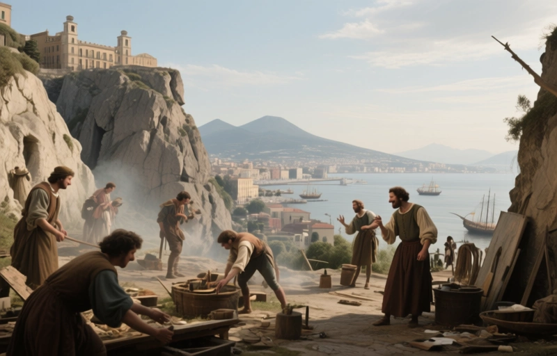
Let's talk about a map that changed the perspective on an entire city. Back in 1582, artist Jan van Stinemolen didn't just draw Naples—he framed it within its dramatic, volcanic landscape in a way no one had before. While earlier maps focused on streets and buildings, Stinemolen pulled back. He surveyed the city from the hillside all the way down to the gulf. This wasn't just a city portrait; it was an environmental study.
This unique vantage point lets you see Naples as part of something bigger. You get the full sweep from the looming threat of Vesuvius to the sprawling Phlegraean Fields. Nature isn't just the backdrop here—it's a central character, both outside and, surprisingly, inside the city walls.
### The Puzzle of the City Walls
Now, here's where things get interesting for historians. The fortifications Stinemolen shows don't quite match the official records. We know Viceroy Pedro de Toledo built a specific defensive circuit. But Stinemolen's drawing shows different forms and connections, especially in the north-western urban areas. Scholars have debated this for years. Is it an error, or is there something more intentional going on?
Take the monumental gate facing the viewer. Stinemolen gives it an oddly grand, fashioned design. Historical sources, however, tell us that spot only had a minor opening back then, locally called a *pertuso*. The actual grand gate for that area, the Porta Medina, wasn't built until about sixty years later. So why the artistic license?
### Intentional Anachronism or Artistic Vision?
One compelling theory is that these "inaccuracies" were deliberate. They match the popular imagery of ancient, classical towns. Stinemolen might have been evoking a sense of timeless antiquity, painting Naples not just as it was, but as it *felt*—a city built on ancient rock with a deep history. It's less about a surveyor's precision and more about an artist's impression of place and legacy.
Furthermore, Stinemolen pays extraordinary attention to the bedrock itself. The texture and variation of the stone are rendered with care in this and his other drawings. This emphasis parallels a growing intellectual movement of the time: a naturalist fascination with volcanic phenomena.
- **A New Focus:** He highlights the rocky foundation, making it a visual anchor.
- **Scientific Curiosity:** This aligns with scholarly narratives emerging in the late 16th century.
- **Place Over Plan:** The drawing values the character of the Neapolitan region—its unstable, volcanic earth—as much as its urban layout.
In essence, Stinemolen's view is a hybrid. It's part map, part geological document, and part idealized historical portrait. He captured a moment when how we saw cities was beginning to change. We started looking not just at their man-made structures, but at how they sat in—and were shaped by—the natural world.
So, while we might not use his drawing to plot the exact location of a 16th-century wall, we can use it to understand how people of that era perceived the profound relationship between a powerful city and the even more powerful landscape that cradled it. It reminds us that a city's true foundation isn't just its bricks and mortar, but the very ground it stands on.