Naples' Rocky Foundation: Jan van Stinemolen's 1582 View
Miguel Fernández ·
Listen to this article~4 min
Jan van Stinemolen's 1582 view of Naples broke the mold. By drawing the city from the hills, he highlighted its volcanic landscape and included puzzling architectural features, suggesting a deeper story about nature and antiquity.
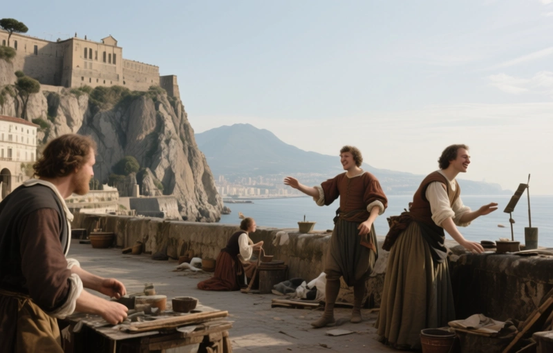
Let's talk about a map that changed the perspective on an entire city. Back in 1582, artist Jan van Stinemolen didn't just draw Naples. He captured its soul, embedded in the dramatic landscape it calls home. While other maps of the era focused on streets and buildings, Stinemolen took a step back—way back, up onto the hillside.
This unusual vantage point, looking from the hills down to the gulf, was a game-changer. It let viewers see Naples not as an isolated urban center, but as a part of a grand, natural theater. The city sits snugly between the looming presence of Mount Vesuvius and the sprawling Phlegraean Fields. Nature wasn't just the backdrop here; it was a fundamental character in the story of the city.
### The Puzzle of the City Walls
Now, here's where things get really interesting for historians and map enthusiasts. Stinemolen's depiction of the city's fortifications doesn't quite match the official records. We know Viceroy Pedro de Toledo built a specific defensive circuit. But Stinemolen's drawing shows something different in both form and how it connects to the northwestern neighborhoods.
This has sparked a ton of debate. Is the map topographically inaccurate? Or is Stinemolen showing us something else entirely?
### A Gate That Shouldn't Be There
The real head-scratcher is the monumental gate. Stinemolen draws this impressive, oddly designed entrance facing the viewer. The catch? Historical sources say that spot only had a minor opening, a simple passageway locals called a *pertuso*. The actual grand gate for that area, the Porta Medina, wasn't built until about sixty years *after* this drawing was made.
So why include it? It might seem like a glaring error. But what if it wasn't? This "inaccuracy" might have been totally intentional. By adding features that evoked ancient, timeless towns, Stinemolen could have been elevating Naples' status, connecting it visually to the classical world. He wasn't just recording what he saw; he was interpreting the city's essence.
### The Bedrock of the Story
Perhaps the most telling detail is the bedrock. Stinemolen gives incredible visual weight and variation to the rocky foundation of the city. This wasn't a one-off. His other drawings show the same focus. He was highlighting the unique natural phenomena of the region—the volcanic underpinnings that literally and figuratively shaped Naples.
This emphasis didn't happen in a vacuum. It paralleled a growing scholarly fascination with volcanic activity during that period. Stinemolen’s work is more than a city plan; it's a document of early naturalist curiosity.
- **Unusual Perspective:** Surveyed from hillside to gulf, showing the city within its full environment.
- **Architectural Mystery:** Features fortifications and a grand gate that conflict with known historical records.
- **Naturalist Focus:** Highlights the volcanic bedrock, aligning with growing scientific interest of the era.
- **Intentional Storytelling:** Suggests the artist may have used symbolic elements to convey antiquity and grandeur.
As one scholar might muse, "Sometimes a map's greatest truth lies not in its perfect accuracy, but in the story it chooses to tell." Stinemolen chose to tell a story of a city born from fire and stone, forever intertwined with the powerful landscape around it. His 1582 view invites us to see Naples not just as a place on a map, but as a living dialogue between human settlement and the raw force of nature.