Naples' Rocky Foundation: Jan van Stinemolen's 1582 View
Miguel Fernández ·
Listen to this article~4 min
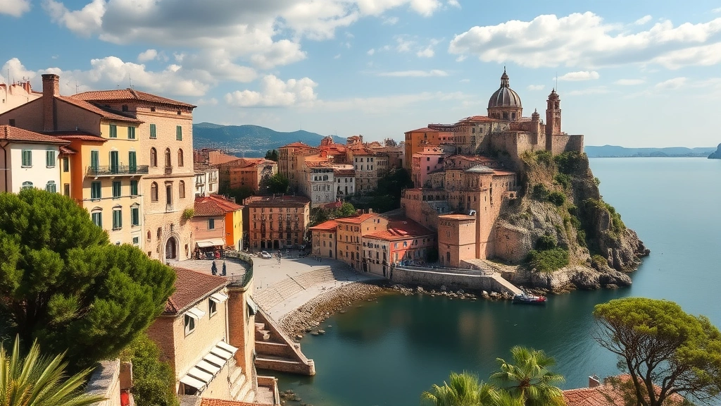
Jan van Stinemolen's 1582 view of Naples offers an unusual hillside perspective, revealing the city's relationship with its volcanic landscape and raising questions about artistic interpretation versus topographical accuracy.
Let's talk about a map that changed how we see Naples. Back in 1582, artist Jan van Stinemolen didn't just draw another city plan. He did something different, something that still makes historians lean in closer today.
He climbed up the hillside and looked down toward the gulf. That simple shift in perspective changed everything. Suddenly, Naples wasn't just streets and buildings—it was part of a living landscape stretching from Vesuvius to the Phlegraean Fields.
### The Unusual Perspective
Most maps of that era showed cities from ground level or as flat diagrams. Stinemolen gave us something more like what you'd see if you were actually standing on those hills. You can feel the city nestled in its environment, with nature playing a starring role both inside and outside the walls.
What's really interesting? His depiction of the fortifications doesn't match what we know was actually there. The walls built by Viceroy Pedro de Toledo looked different in reality. Stinemolen's version has peculiar connections between the walled perimeter and the northwestern urban areas that historians have been debating for years.
### The Mysterious Gate
Here's where it gets fascinating. Right in the foreground, Stinemolen drew a monumental gate facing the viewer. It's detailed, impressive—and historically questionable. Other sources from that time mention only a minor opening called a *pertuso* at that location. The actual Porta Medina gate wasn't built until about sixty years later.
So why include it? Some scholars think these "inaccuracies" might be intentional. They match the imagery of ancient towns, suggesting Stinemolen might have been evoking Naples' classical heritage rather than documenting its exact appearance.
As one art historian noted: "Sometimes maps tell us more about how people wanted to see a place than how it actually was."
### The Rocky Truth Beneath
What Stinemolen really captured was the bedrock—the literal foundation of Naples. His drawing shows:
- The visual variation of rock formations throughout the city
- How natural topography influenced urban development
- The relationship between built structures and geological features
This emphasis on natural phenomena wasn't accidental. It paralleled growing scholarly interest in volcanic activity during that period. People were starting to study Vesuvius scientifically, and Stinemolen's work reflects that emerging naturalist perspective.
### Why This Matters Today
We often think of historical maps as objective records. Stinemolen's view reminds us they're interpretations. They show what the artist considered important, what stories they wanted to tell, and how they understood the relationship between human settlement and natural environment.
His unusual perspective forces us to see Naples not as an isolated city, but as part of a dynamic landscape. The bedrock isn't just scenery—it's character. The "inaccuracies" aren't necessarily mistakes—they might be narrative choices.
Next time you look at an old map, ask yourself: What story is this telling? What relationships is it highlighting? Stinemolen's 1582 view gives us Naples not as it was, but as it could be understood—a city shaped by its rocky foundation, its volcanic surroundings, and the artist's unique vision.
That's the real value of looking at historical documents from different angles. They don't just show us what was there. They show us how people saw their world, what they valued, and how they connected human creation to natural foundation.