Naples' Rocky Foundation: Jan van Stinemolen's 1582 View
Miguel Fernández ·
Listen to this article~4 min
Jan van Stinemolen's 1582 view of Naples reveals the city within its volcanic landscape. His unusual perspective and artistic choices offer insights into how Renaissance artists interpreted urban environments.
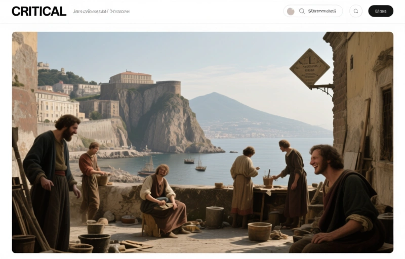
Let's talk about a map that changed how we see Naples. Back in 1582, artist Jan van Stinemolen didn't just draw another city plan. He did something different. He climbed up the hillside and looked down toward the gulf. That simple shift in perspective changed everything.
You see, most depictions of Naples at that time focused on the streets and buildings. Stinemolen wanted to show the city within its dramatic natural setting. From Vesuvius to the Phlegraean Fields, he captured Naples as part of a living landscape. Nature wasn't just background scenery—it was the main character.
### The Unusual City Walls
Now, here's where things get interesting. When you look closely at Stinemolen's drawing, the city walls don't match historical records. Viceroy Pedro de Toledo's famous fortifications looked different in reality. The connection between the walled perimeter and the northwestern urban areas? Stinemolen took some creative liberties there.
Scholars have debated this for years. Is the drawing topographically accurate, or is it artistic interpretation? I think we've been asking the wrong question.

### The Mysterious Gate That Shouldn't Exist
My starting point is that monumental gate facing the viewer. It's oddly fashioned, almost theatrical. Historical sources tell us that location only had a minor opening called a *pertuso*. The actual Porta Medina gate wasn't built until sixty years later.
So why did Stinemolen include it? I believe those seemingly inconsistent features actually match the imagery of ancient towns. He might have been intentionally evoking classical antiquity. The drawing becomes less about literal truth and more about symbolic representation.
### Reading the Bedrock Like a Text
What really fascinates me is how Stinemolen treats the bedrock. He gives it visual variation and relevance that you don't see in other maps of the period. Look at his other drawings too—there's a pattern here.
- He emphasizes the rocky foundation of the city
- He shows natural phenomena peculiar to the Neapolitan region
- He parallels emerging scholarly narratives about volcanic activity
This wasn't just artistic choice. It reflected a growing naturalist interest in volcanic phenomena during that period. Stinemolen was participating in a scientific conversation through his art.
As one contemporary observer noted, "The very stones tell stories of fire and time."
### Why This Perspective Matters Today
We often think of historical maps as objective records. Stinemolen's view reminds us they're also interpretations. His unusual vantage point from hillside to gulf wasn't just about seeing more territory. It was about understanding the relationship between human settlement and natural environment.
When we look at this 1582 view today, we're not just seeing old Naples. We're seeing how one artist thought about cities, nature, and history. The bedrock isn't just geological formation—it's foundation. The walls aren't just defenses—they're boundaries between human creation and natural world.
That's the real value of Stinemolen's work. He shows us that cities grow from their landscapes, both literally and metaphorically. The rocky foundation supports everything that comes after, just as historical understanding supports our present knowledge.
Next time you look at an old map, ask yourself: What story is the artist trying to tell beyond the streets and buildings? You might discover layers of meaning you never expected.