Jan van Stinemolen's 1582 Naples Panorama: A New Perspective
Miguel Fernández ·
Listen to this article~4 min
In 1582, Jan van Stinemolen drew Naples from an unprecedented mainland perspective. New research using digitized maps reveals this overlooked masterpiece as far more than a simple snapshot.
Let's talk about a drawing that changed how we see a city. In 1582, a Dutch artist named Jan van Stinemolen put pen to paper and created something monumental. He wasn't just sketching. He was capturing the entire city of Naples in a panoramic view that still makes historians pause.
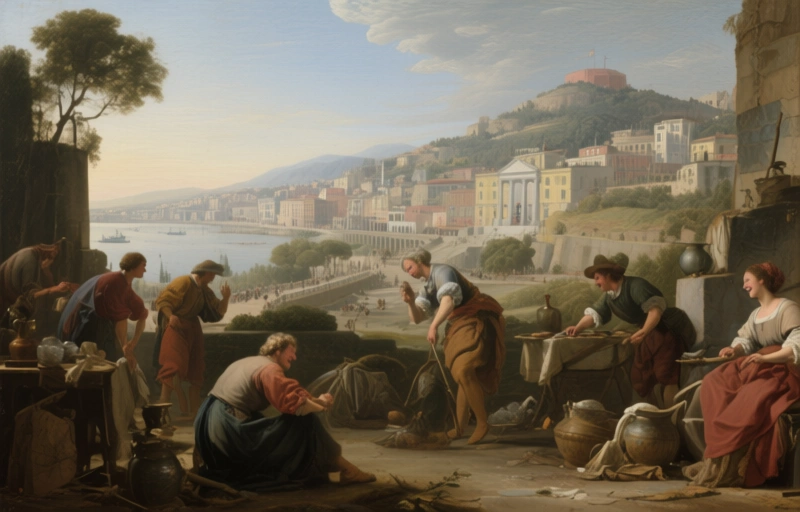
But here's the twist. He didn't draw what everyone else was drawing. Most artists showed Naples from the water, looking toward the shore. Van Stinemolen flipped the script. He stood on the mainland and looked back toward the city from the hills. It's like seeing your own house from your neighbor's window for the first time. Everything looks different.
### Why This Drawing Matters Today
You'd think a work this significant would have been analyzed to death by now. It's well-known among two groups: scholars who study Naples's landscape and experts in Dutch drawing techniques. Yet somehow, it's never received the deep dive it deserves. We've been missing the full story.
That's where new research comes in. A collaborative project decided to fill this gap using tools we didn't have before. They didn't just look at the drawing with fresh eyes. They brought in digitized, annotated maps from a major art history institute. This wasn't about replacing old analysis. It was about adding layers to our understanding.
### The Two-Part Investigation
The researchers had two clear goals from the start. First, they wanted to identify as many locations in the drawing as possible. Think about that for a second. A 440-year-old panorama showing buildings, streets, and landscapes. How many of those places still exist? How many have changed beyond recognition?
Their second goal was more artistic. They investigated the composition itself. How did van Stinemolen put this together? What choices did he make about what to include, what to emphasize, and what to leave in the background? This revealed something crucial:
> "This work is far from a simple snapshot of Naples in 1582."
It's a constructed view. An interpretation. The artist made decisions that tell us not just about the city, but about how he saw it.
### What Digital Tools Revealed
Using those digitized maps changed everything. Researchers could overlay modern understandings of the city's layout with van Stinemolen's rendering. They could ask new questions:
- Which landmarks did he choose to highlight?
- How accurate was his sense of distance and scale?
- What might he have altered for artistic effect?
This approach revealed the drawing's "intermedial construction." That's a fancy term for a simple idea: the work exists between media. It's part map, part landscape painting, part topographical record. It doesn't fit neatly into one category, which might be why it escaped deeper study for so long.
### Why This Research Changes Things
For professionals working with historical documents and artworks, this project offers a blueprint. It shows how combining traditional art historical methods with new digital resources can unlock old mysteries. The key findings include:
- The drawing's unique mainland perspective reveals aspects of Naples often ignored
- Digital mapping allows precise location identification previously impossible
- Understanding the artistic construction helps us see the artist's intent
- This work serves as a bridge between cartography and fine art
We're left with a richer picture of both the artwork and the city it portrays. Van Stinemolen wasn't just documenting. He was interpreting, selecting, and presenting. His 1582 panorama gives us a conversation with the past, one we're only now learning how to fully hear. And that's worth paying attention to.