Jan van Stinemolen's 1582 Naples Panorama: A Hidden…
Miguel Fernández ·
Listen to this article~4 min
Discover Jan van Stinemolen's 1582 panorama of Naples, a revolutionary view from the inland hills. New research using digitized maps reveals it's far more than a simple snapshot, offering a fresh perspective on the city's relationship with its countryside.
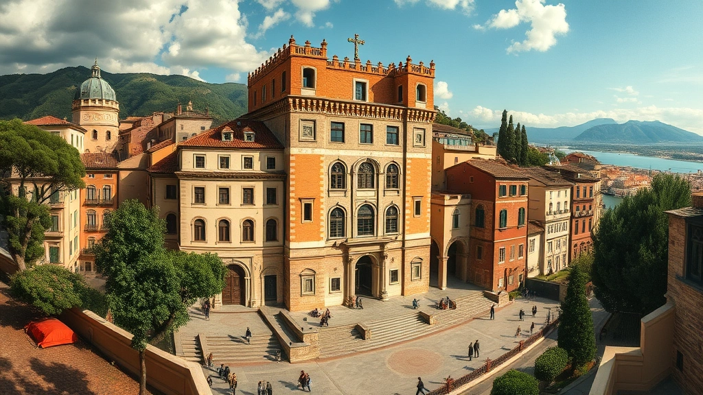
Back in 1582, a Dutch artist named Jan van Stinemolen did something pretty remarkable. He finished a massive, detailed panorama of Naples. But here's the twist – he didn't draw the famous postcard view from the sea. Nope. He turned his back to the gulf and looked at the city from the inland hills. This ink-on-paper masterpiece now lives in Vienna's Albertina museum, and honestly, it's been a bit of a sleeper hit in the art world.
It's well-known among specialists who study Naples's landscape or Dutch drawing techniques. Yet, it hasn't gotten the deep dive it truly deserves. Scholars haven't fully unpacked its secrets or given us the interpretations that could change how we see Renaissance city views. That's a real gap, and it's one a recent collaborative research project aimed to fill.
### A Fresh Look Through Digital Maps
The key to this new research? Digitized historical maps. The team made brilliant use of annotated maps from the Bibliotheca Hertziana – Max Planck Institute for Art History. Think of these digital tools like a high-powered magnifying glass for history. They weren't just looking at pretty pictures; they were forensic investigators of art.
Their mission had two clear goals. First, they wanted to identify as many real-life locations in Stinemolen's drawing as possible. Where exactly was he standing? What churches, hills, and roads was he capturing? Second, they dug into the artwork's very construction—its composition and how it blends different artistic mediums. This wasn't about finding a quick answer.
### More Than Just a Snapshot
What they discovered flips the script. This panorama is far from a simple snapshot of Naples in 1582. It's a carefully constructed piece of art. Stinemolen wasn't just r
ecording what he saw; he was composing, selecting, and interpreting. The view from the mainland reveals a relationship between the bustling city and the surrounding countryside that the typical sea view completely misses.
You get a sense of the city's footprint, how it met the land, and the lay of the hills beyond. It shows culture and nature intertwined in a way that feels surprisingly modern. We often separate city and country, but this drawing reminds us they've always been connected.
So, why does this matter now? Well, it gives us a new lens on a familiar place. It challenges the standard, tourist-brochure narrative of historic cities. And it shows how technology—like those digitized maps—can breathe new life into old masterpieces, helping us ask better questions.
As one researcher involved noted, "The real discovery wasn't a new landmark on the map, but a new understanding of the artist's intention."
This project highlights a few important things for anyone in the field:
- **The power of perspective:** Changing your vantage point changes the entire story.
- **Collaboration is key:** Art historians, geographers, and digital experts working together can achieve what one specialist alone cannot.
- **Look beyond the obvious:** The most famous view isn't always the most informative one.
In the end, Jan van Stinemolen's work is a reminder that some of the best views come from taking the road less traveled, even if that road was a hill in Italy over 440 years ago. It's a hidden masterpiece finally getting its moment in the sun, and it encourages all of us to look at familiar subjects from a brand new angle.