Jan van Stinemolen's 1582 Naples Panorama: A Hidden…
Miguel Fernández ·
Listen to this article~4 min
Discover Jan van Stinemolen's 1582 panorama of Naples - a groundbreaking view from the mainland that reveals the city's relationship with its countryside, now receiving fresh scholarly attention.
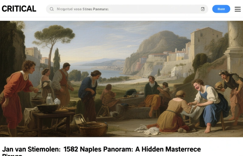
Let's talk about a drawing that changes how we see Naples. Back in 1582, a Dutch artist named Jan van Stinemolen did something remarkable. He created a massive panorama of the city, but not from the usual postcard view over the water. Instead, he showed us Naples from the mainland, from the hills looking back toward the sea.
It's a work on paper with ink, and today it lives in Vienna's Albertina museum. But here's the thing that really gets me - despite being known by scholars who study Naples's landscape and experts in Dutch art, this drawing hasn't gotten the deep dive it deserves. It's like everyone knows it exists, but few have really sat down to understand what makes it special.
### Why This View Matters
Most artists showed Naples from the bay, with Vesuvius looming in the background. Stinemolen flipped that perspective completely. By drawing from the mainland, he captured something different - the relationship between the city and its countryside, between urban life and the natural landscape that surrounded it.
This wasn't just a different angle. It was a different way of thinking about what a city portrait could be. He wasn't just showing buildings and streets; he was showing how Naples fit into its larger environment.
### The Research Breakthrough
Recently, a team of researchers decided to give this drawing the attention it's been missing. They used some pretty cool tools - digitized historical maps from the Bibliotheca Hertziana at the Max Planck Institute for Art History. These annotated maps became their guidebook to understanding what Stinemolen was really showing us.
The project had two main goals:
- Pinpoint as many locations in the drawing as possible
- Figure out how Stinemolen put the whole thing together artistically
What they discovered surprised everyone. This wasn't just a simple snapshot of 1582 Naples. It was a carefully constructed work with layers of meaning.
### More Than Meets the Eye
When you look at Stinemolen's panorama, you're not just seeing buildings and streets. You're seeing how an artist from Northern Europe interpreted an Italian city. You're seeing choices about what to include, what to emphasize, and what stories to tell through landscape.
The research revealed something crucial: this work is "intermedial." That's a fancy way of saying it exists between different forms of representation. It's part map, part artistic interpretation, part documentary record. Stinemolen wasn't just copying what he saw; he was creating a specific vision of Naples.
Here's what makes his approach so interesting:
- He combined accuracy with artistic license
- He showed relationships between urban and rural spaces
- He created a narrative through landscape
- He documented a moment in time while also interpreting it
### Why It Still Matters Today
Think about how we document cities now - with Google Street View, drone footage, and satellite images. We're obsessed with capturing places from every possible angle. Stinemolen was doing something similar over 400 years ago, just with paper and ink instead of pixels.
His work reminds us that how we choose to show a place says as much about us as it does about the place itself. The view from the hills tells a different story than the view from the sea. It emphasizes different relationships, highlights different features, and creates different emotional responses.
As one researcher noted, "This drawing forces us to reconsider what city portraits can do. They're not just representations; they're interpretations."
### The Takeaway
Next time you look at an old map or city view, ask yourself: Why this angle? Why these details? What story is the artist trying to tell? Stinemolen's Naples panorama shows us that even the most straightforward-seeming documents often have layers of meaning waiting to be uncovered.
The real value isn't just in identifying every building or street. It's in understanding why someone chose to show us a city in this particular way, at this particular moment in history. That's where the real conversation begins.