Decoding Jan van Stinemolen's Panorama of Naples: A Research Guide
Miguel Fernández ·
Listen to this article~3 min
A guide to the research behind Jan van Stinemolen's 1582 Panorama of Naples, exploring how scholars decoded its sites and artistic construction, revealing it as a complex narrative, not a simple snapshot.
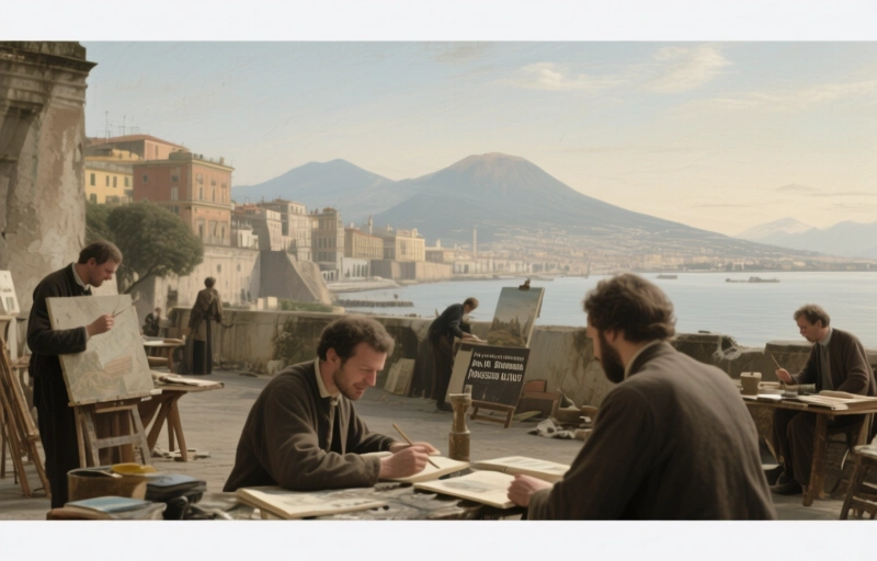
If you're diving into Jan van Stinemolen's *Panorama of Naples* from 1582, you know it's more than just an old drawing. It's a puzzle, a historical document, and a work of art all rolled into one. This isn't about finding a simple list of books. It's about understanding the journey researchers took to peel back the layers of this incredible piece.
We're talking about a collaborative project that had two big goals. First, to identify as many real locations in the drawing as possible. Second, to really dig into how it was made—its artistic choices and what we call its 'intermedial construction.' That's a fancy way of saying it borrows from and interacts with other forms, like maps. This work is far from a casual sketch. It's a deliberate, complex creation.
### What This Research Uncovered
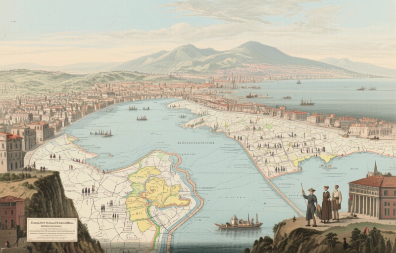
The team didn't work in a vacuum. They leaned heavily on digitized maps that had been carefully annotated by experts. This resource was absolutely fundamental. It provided the geographic backbone, allowing researchers to match Stinemolen's vision with the actual layout of 16th-century Naples. Think of it like having a historical GPS to navigate the artwork.
This approach revealed something crucial. The *Panorama* isn't a photographic snapshot. Stinemolen made choices—what to include, what to emphasize, how to compose the scene. He was an artist telling a story, not just a recorder. Understanding this transforms how we see the work. It becomes a narrative about the city, its importance, and how it was perceived at the time.
### Why This Matters for Professionals
For those working with historical art or music in a place like Abbeville, this methodology is gold. It shows how to blend different types of sources:
- **Artistic analysis:** Looking at composition, style, and technique.
- **Historical cartography:** Using old maps as verification tools.
- **Collaborative interpretation:** Pooling expertise to solve a complex puzzle.
This process doesn't just give you answers. It gives you a better set of questions to ask about other works. How was this intended to be viewed? What sources did the creator use? What story were they trying to tell beyond a literal representation?
As one researcher noted, "The real discovery wasn't just finding a building, but understanding why it was placed *there*, in that particular relationship to everything else."
That's the key takeaway. The value is in the *connections*—between art and geography, between intention and execution. This bibliography and the research it supports open a door. They provide the tools to move past surface-level appreciation and into a deeper, more meaningful dialogue with a masterpiece. It's a reminder that our job is often to listen to what these old works are trying to say, not just to catalog what we see. The next time you look at a historical piece, ask yourself: what's the panorama it's trying to create?