Decoding Jan van Stinemolen's 1582 Panorama of Naples
Miguel Fernández ·
Listen to this article~4 min
New research reveals Jan van Stinemolen's 1582 Panorama of Naples is a complex artistic construction, not a simple snapshot. Discover the methodology and key findings.
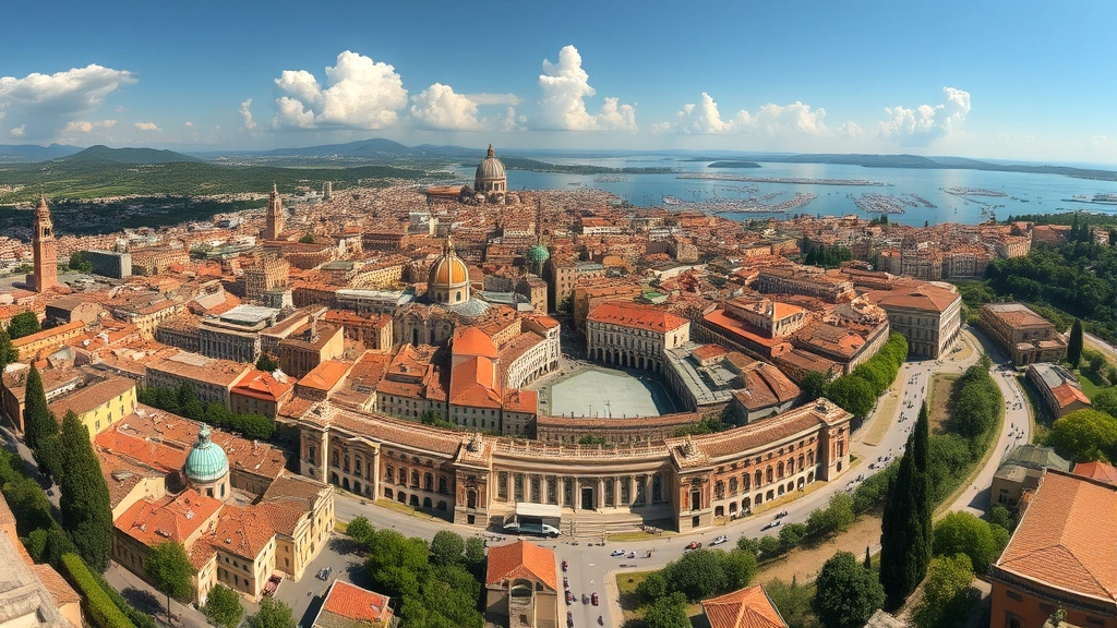
If you're like me, you've probably seen old maps and drawings and wondered what stories they're really telling. Jan van Stinemolen's *Panorama of Naples* from 1582 is one of those works that looks simple at first glance—just a detailed city view, right? But a recent collaborative research project dug deep and found something much more fascinating. It turns out this drawing is far from a simple snapshot. It's a carefully constructed artistic vision, a puzzle waiting to be solved.
### What Was the Research Project All About?
The team had two main goals. First, they wanted to identify as many real locations in the drawing as possible. Think of it like a historical treasure hunt across a 440-year-old piece of paper. Second, they aimed to understand how Stinemolen put it all together. They studied the artistic composition and what we call 'intermedial construction'—basically, how different types of media (like drawings and maps) influenced each other. This wasn't just about finding buildings; it was about figuring out the artist's mind.
### The Tools That Made It Possible
You can't do this kind of detective work alone. The researchers relied heavily on digitized maps from a key institution: the Bibliotheca Hertziana – Max Planck Institute for Art History. These weren't just any maps; they were annotated, marked up with notes that provided crucial clues. Having these resources was like being given a decoder ring. They were fundamental to the entire approach, allowing the team to cross-reference Stinemolen's vision with known geographical and historical data.
So, what did they discover? The *Panorama of Naples* is a monumental work, both in its physical scale and its intellectual ambition. It's not a photographically accurate record. Instead, Stinemolen made choices—what to include, what to emphasize, how to arrange the city's hills and buildings. He was creating an interpretation, not just a copy. This revelation changes how we see the drawing. It moves from being a passive historical document to an active piece of artistic and cartographic communication.
### Why This Matters for Professionals
For anyone working with historical art or cityscapes, this project is a masterclass in methodology. It shows the power of combining:
- Traditional art historical analysis
- Collaborative, interdisciplinary research
- Digital resources and tools
The findings remind us that old masters were often synthesizing information, not just recording it. As one researcher noted, "The work reveals a constructed reality, a narrative of the city as much as a depiction of it."
For your own work, consider these takeaways:
- Always question the 'simple' document. Look for the artist's hand in the composition.
- Leverage digitized collections—they can break down geographical barriers to primary sources.
- Collaboration across specialties (art history, geography, digital humanities) can unlock meanings that a single perspective might miss.
This special issue, which the bibliography supports, exemplifies this modern approach. It's about peeling back the layers on a work that has sat quietly for centuries and listening to the complex story it has always been trying to tell. The next time you look at a historical panorama, remember—you're not just seeing a place. You're seeing a thought, a decision, and a crafted vision of the world.